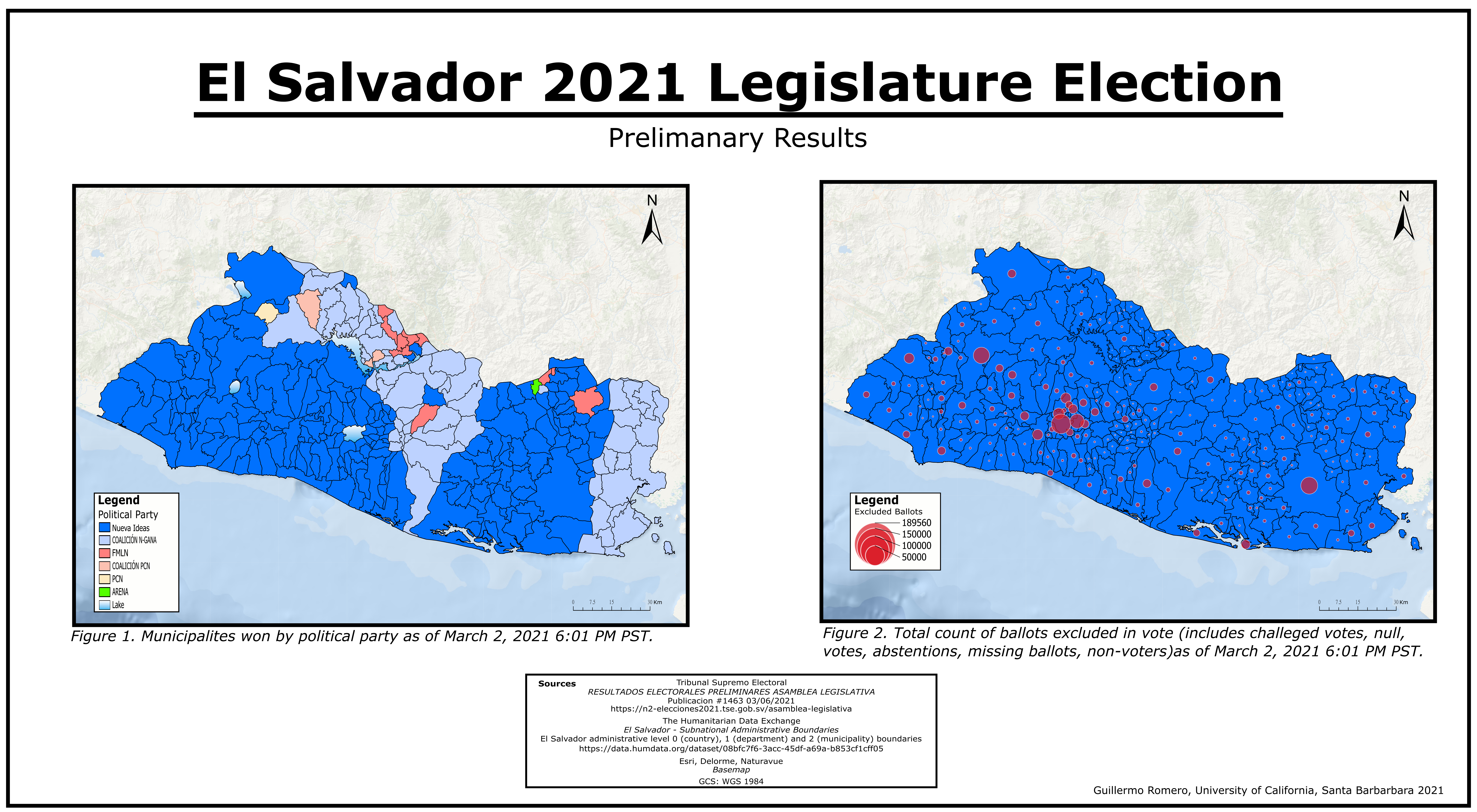
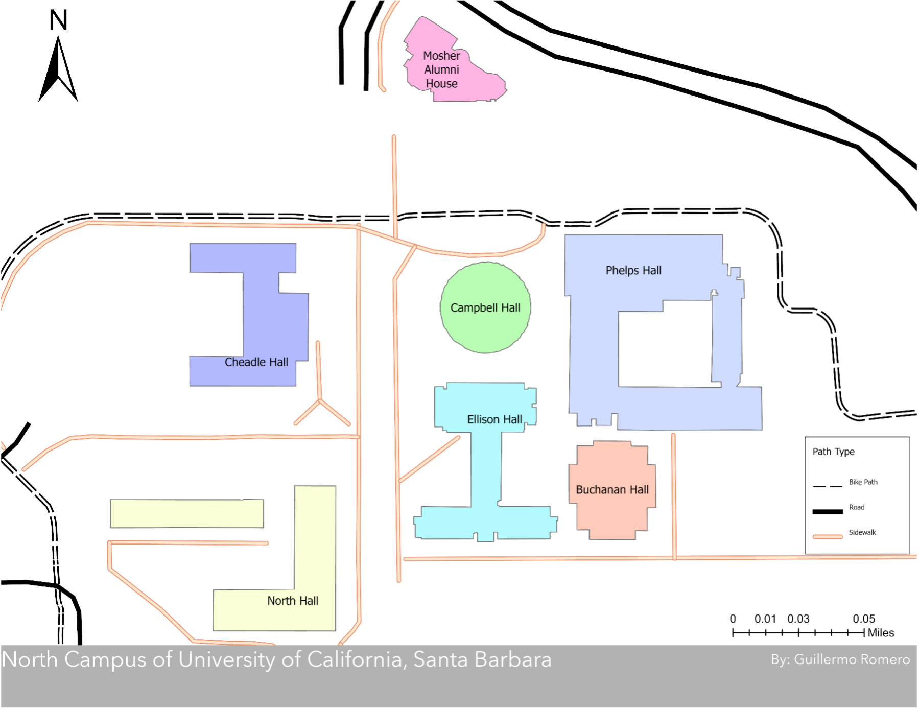
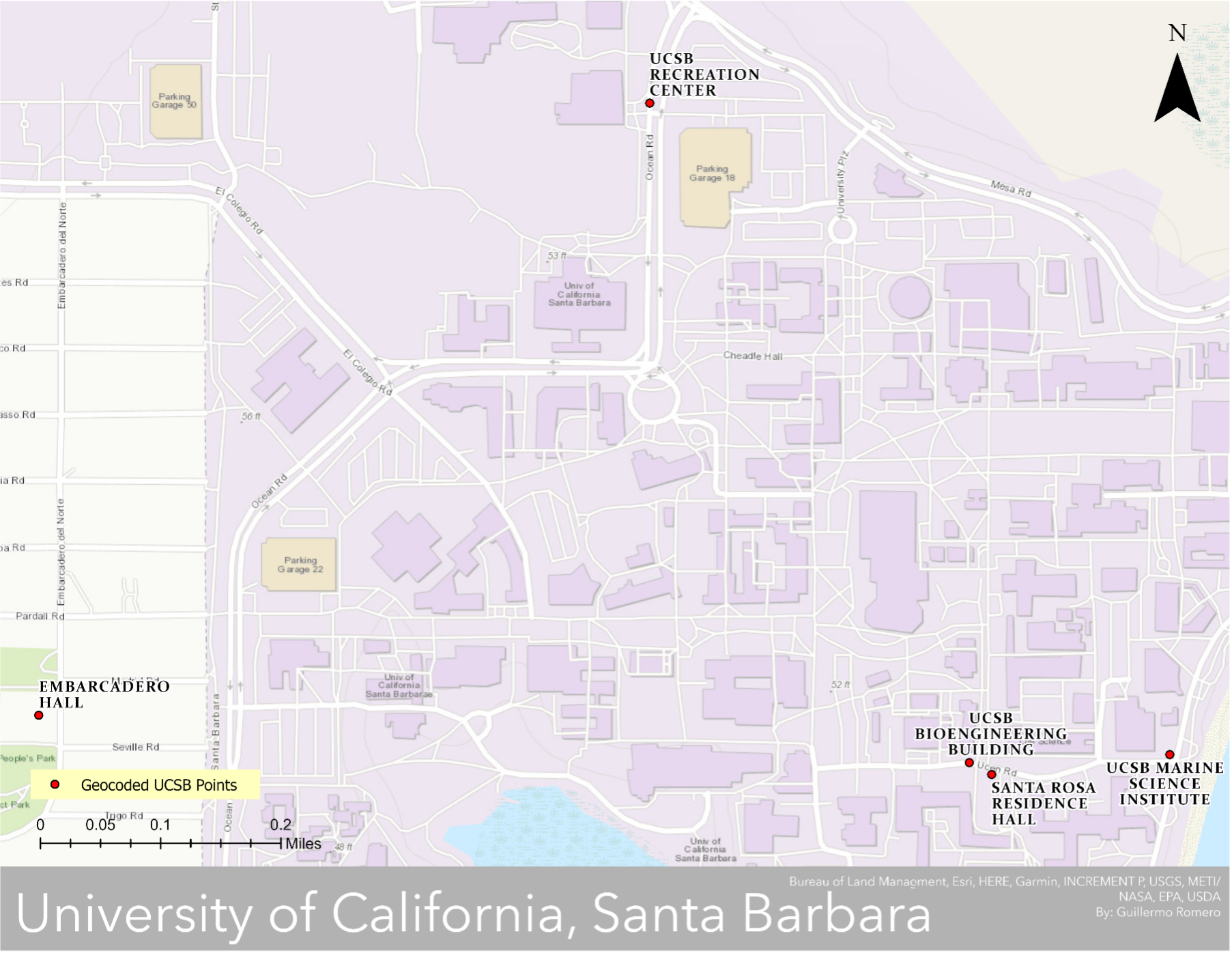
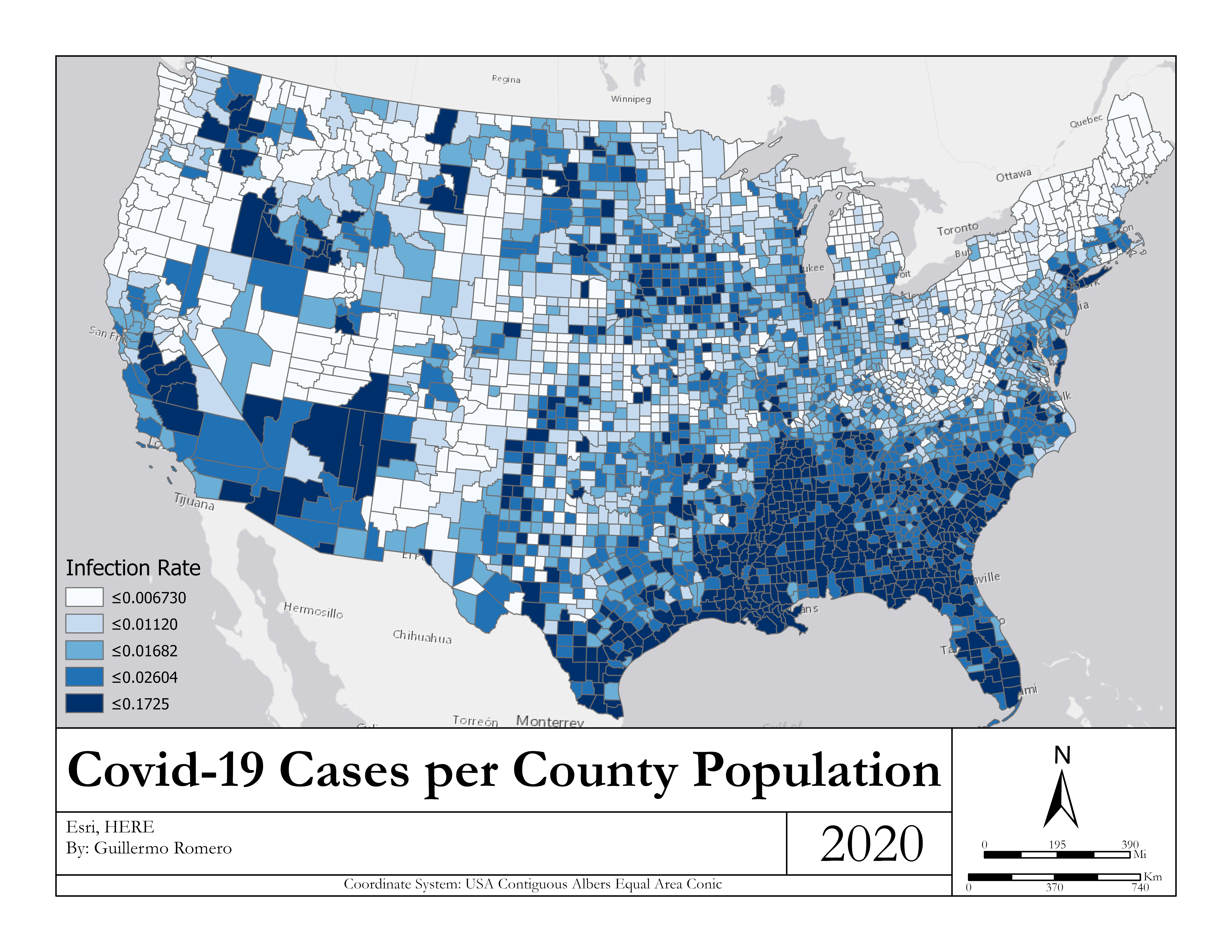
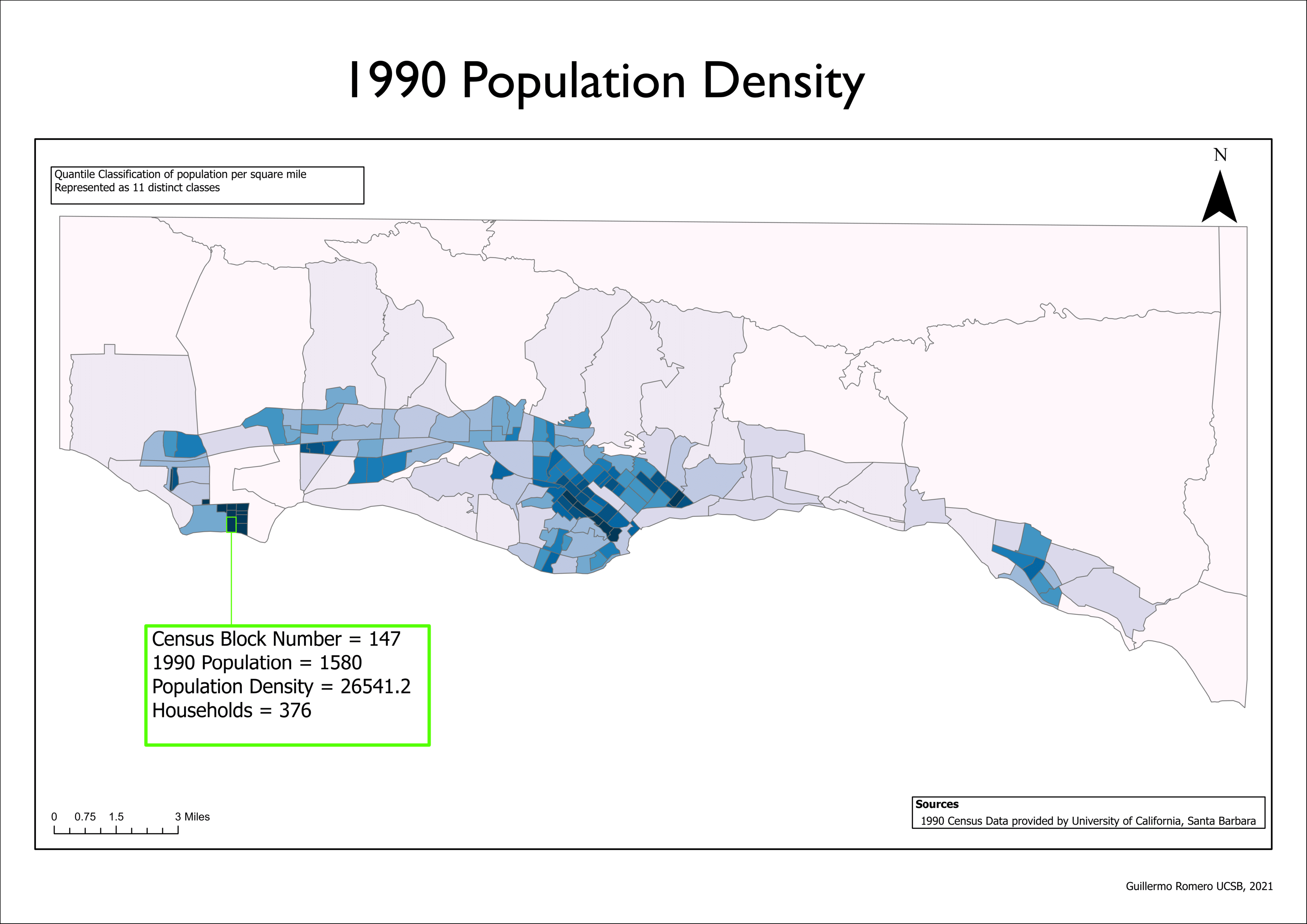
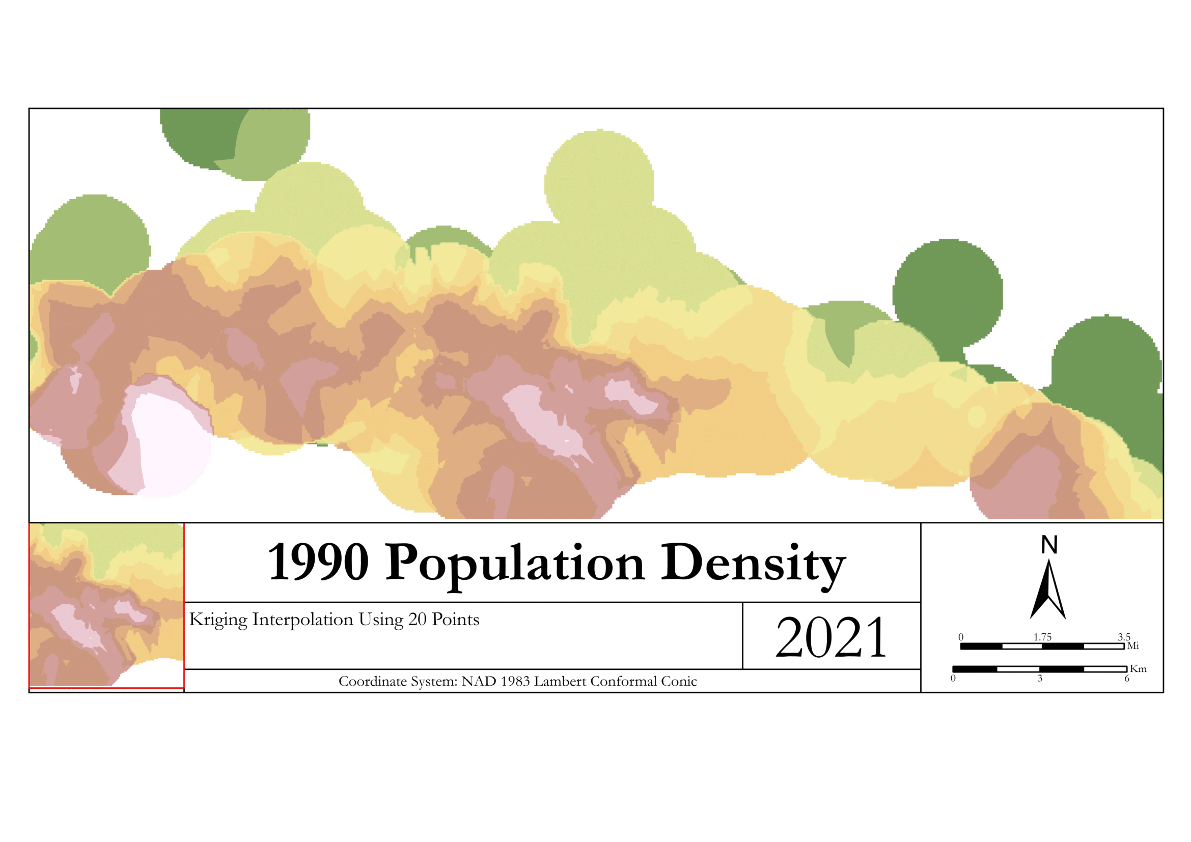
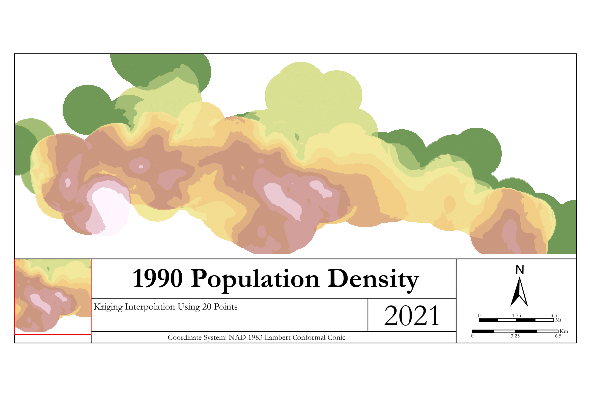
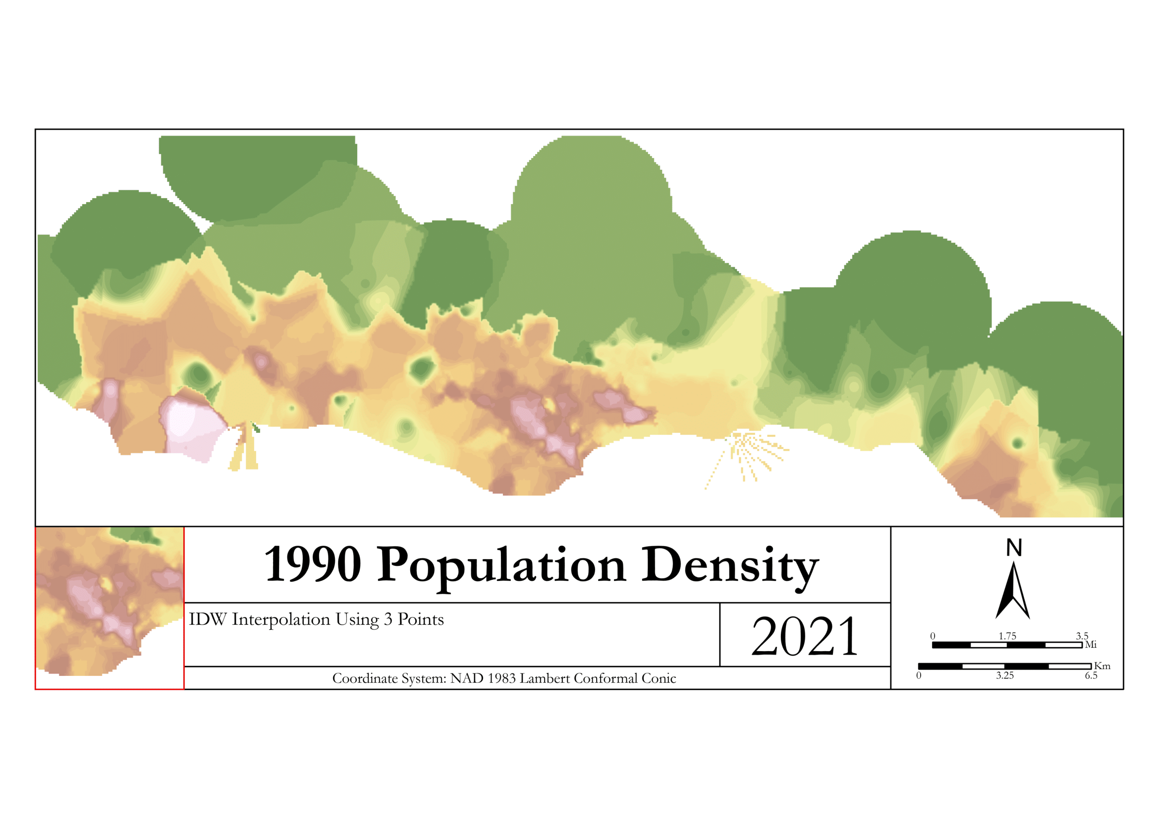
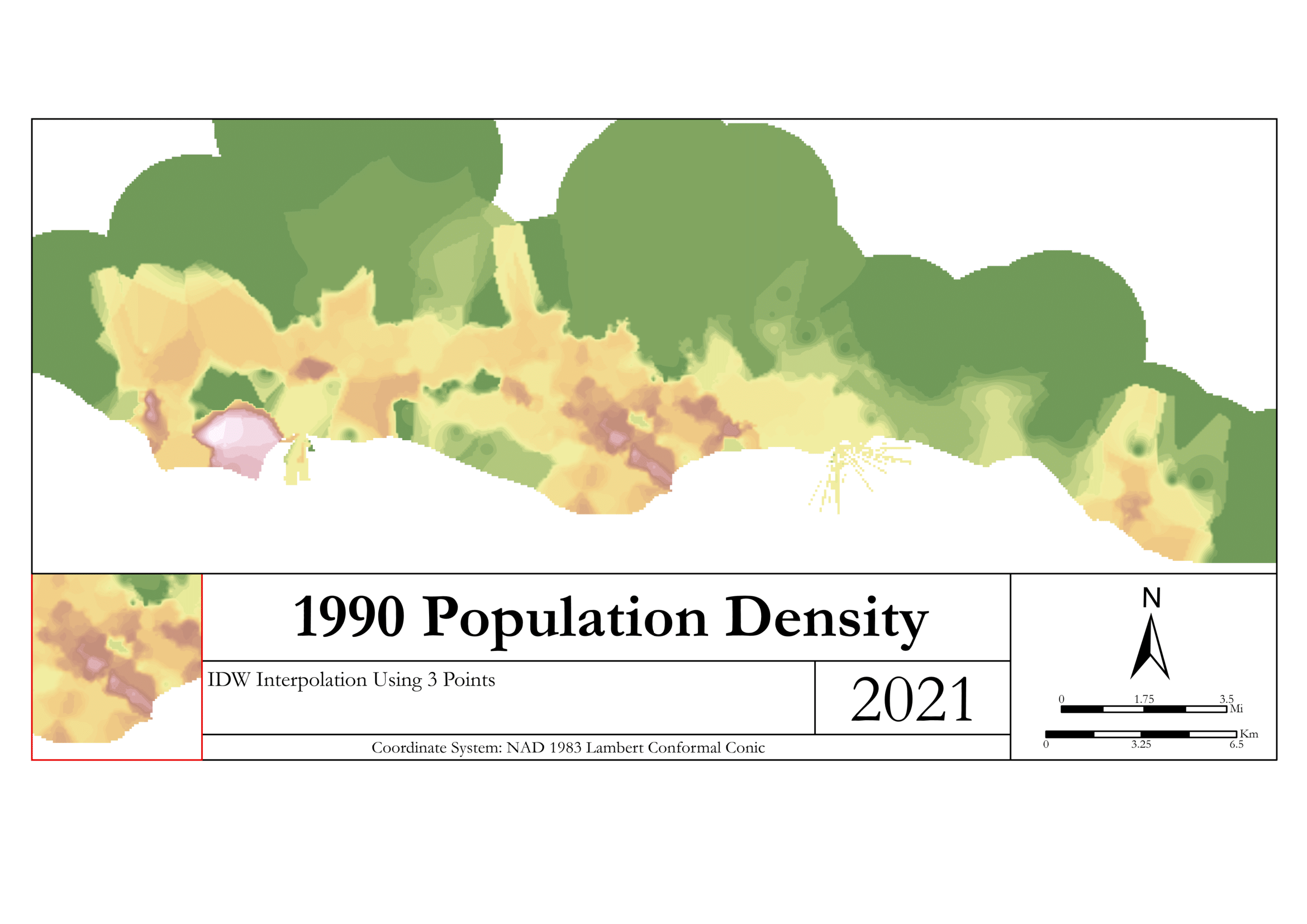
First Poster Created for an “Introduction to GIS” course created with ArcMap.
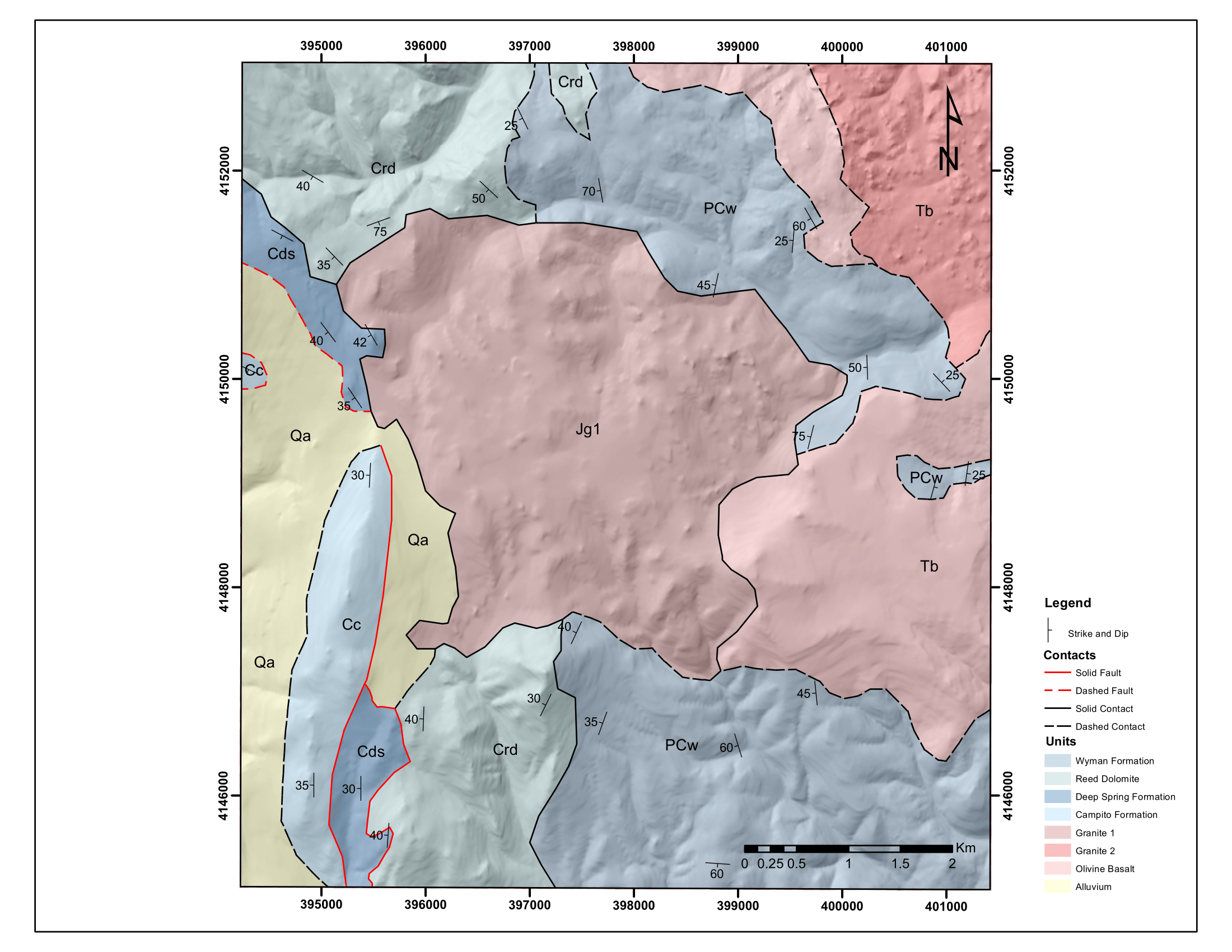
A geologic map over Aster satellite imagery made with provided field notes, satellite imagery and some spectral data from the satellite-based ASTER instrument to figure out the distribution of rock units.
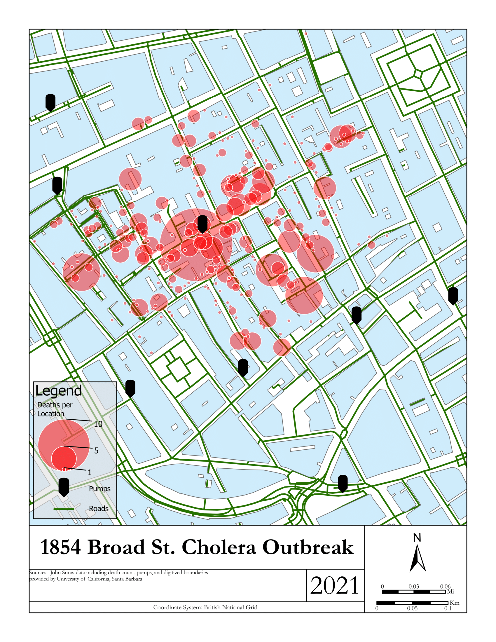
John Snow
Recreation of the pivotal John Snow map of cholera outbreak.

